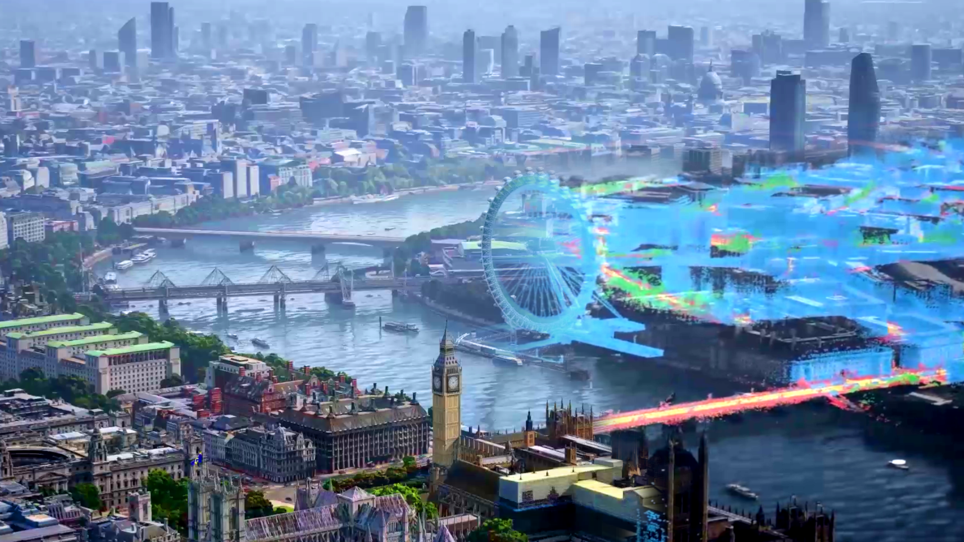
If your device can handle additional visuals and data, you can utilise the Google Earth 3D data set to see 3D buildings in Google Maps. A new setting in Google Maps, called Immersive View, was revealed during the company’s annual developer conference, Google I/O. It will appear as if you have already stepped foot inside a location when using Google Maps Immersive View.

Insane visuals accompany this content. It’s basically a 3D version of SimCity with high-quality video game visuals on Google Maps. Cars and birds soar around the streets in a virtual reality simulation. Whenever there are clouds in the sky, they cast shadows on the surface of the earth. Water contains realistic reflections that shift with the angle of the camera, and the weather is also generated. An animated Ferris wheel may be found in London.
A lot of this data is true, even if Google isn’t monitoring individual bird movements (yet!). On a specific street, the number of automobiles indicates how busy it currently is. Even in the past, weather data is accurate since it is based on the real weather. The path of the sun changes with the passing of each hour of the day.
Another segment of the film depicts a flyover of a company with a fully realised three-dimensional design. Google Maps, Google Earth, and Street View’s large data sets provide this degree of detail, but even then, the initial data sets will restrict this level of fidelity. Starting in the fall of this year, Google plans to roll out Immersive View to the following cities: Los Angeles, New York City, Tokyo and London.
If you don’t want to use it, you may turn it off, exactly as the 3D construction mode, which is an optional feature.

